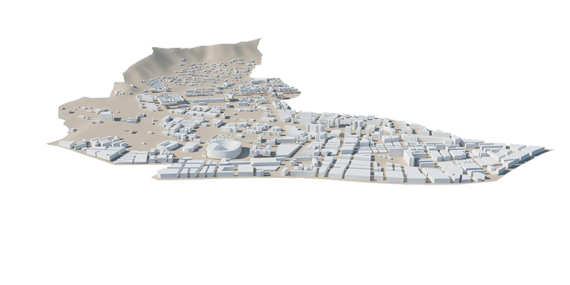
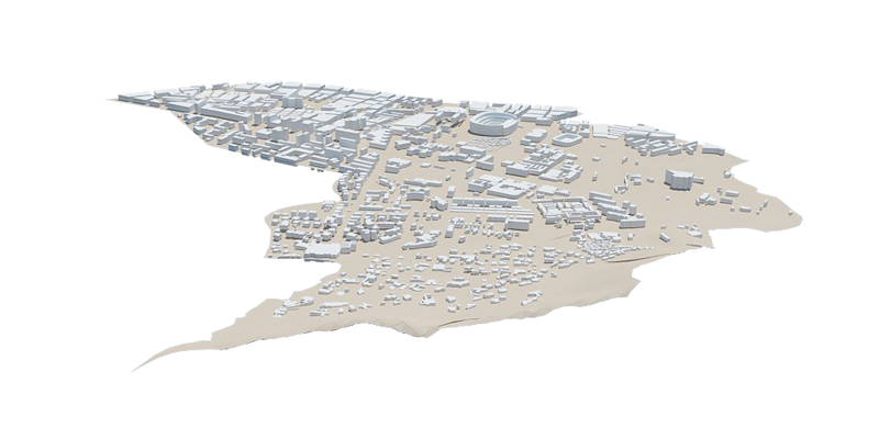
I'm taking advantage of one of the scholarship students fabcity Barcelona project. For this week I've tried to do a small animation on my
district of the city of Barcelona.
Barcelona is divided in 10 districts. The district of les Corts is located in the north-east of Barcelona and consists of three areas or clearly
different zones or neighborhoods. In the following link you can see a map of the district.
Les Corts district
Perdalbes: Multi-family housing area. Possibly one of the richest areas of Barcelona. Large urban spaces and luxurious housings are one of its main features.
Les Corts: The historic core of the district. One of the areas with a stronger identity character. The urban grid is more dense and streets encourage neighborhood life.
Maternitat: It is an area with miscellany of housings and sports equipments. There is the stadium of the team of soccer of the
city and other sports complex much known by the people of Barcelona
Autocad
The objective was to make the animation entirely in sketchup to study all the possibilities of this program.
First of all i downloaded a CAD base of the city of Barcelona. Finally I decided to use AutoCAD to prepare the file for import into Sketchup.
You can find the Cad file on page "WikiCity"
SketchUp
I download a couple of aerial images of the city of Barcelona to make traveling from the city to the district of Les Corts.
I did some shapes defining the different districts and I extruded all the polylines to simulate the buildings.
Sketchup programmes the animation according to user defined views. The bad thing is that you can not modify the route camera between the views.
The good news is that it is super easy to use and very fast to learn. It's a great program with many options and very intuitive.
Les Corts from
Santi Fu on Vimeo
Google earth
As soon as the animation was realized I wanted to try the sketchup tool called geolocation.
It consists of exporting from Google earth a piece of land. It exports both aerial image as the topography. The bad thing is that the
area that you can export is very small and to be able to do all the topography of the distric I had to export it into different pieces.
Another problem is that the image of google earth has a very bad definition and you can't be used for very small scales.
Once exported the topography could make a small rendering of the model.


